

Leice Wind Power LiDAR — NZ Distributor
Wind Power LiDAR Systems
DNV bankable wind resource assessment, 3D scanning, nacelle, floating buoy, and blade clearance LiDAR for wind energy development.
Precision Wind Measurement for New Zealand's Energy Future
Geospace NZ is the New Zealand distributor for the complete Leice Wind Power LiDAR range — from DNV bankable vertical profile systems for wind farm development, to advanced 3D scanning LiDAR for wake analysis, nacelle-mounted systems for turbine performance optimisation, and offshore floating buoy platforms.
All Leice wind power LiDAR systems are designed for demanding field conditions, with eye-safe 1.5 μm wavelength lasers, IP65+ enclosures, and operating temperatures from -40°C to +50°C.
Wind Power Product Range
Leice Wind Power LiDAR Products
Wind Power
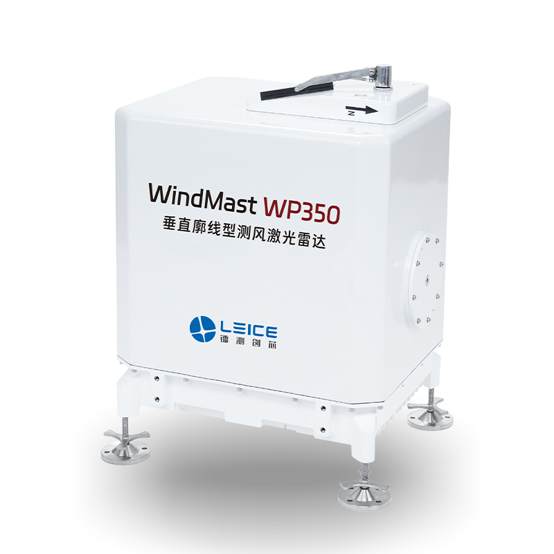
WindMast WP350
Vertical Profile Wind LiDAR
Measurement Range
10 m – 350 m
Wind Speed Accuracy
±0.1 m/s
Wind Direction Accuracy
±1°
Availability
≥99%
Power Supply
AC / Solar optional
IP Rating
IP65
- DNV Class Specific Classification — Passed for Full Bankability
- Bankable wind resource assessment for wind farm development
- Solar-powered WP350 variant for remote off-grid sites
- IEC 61400-12-1 compliant measurement
Wind Power
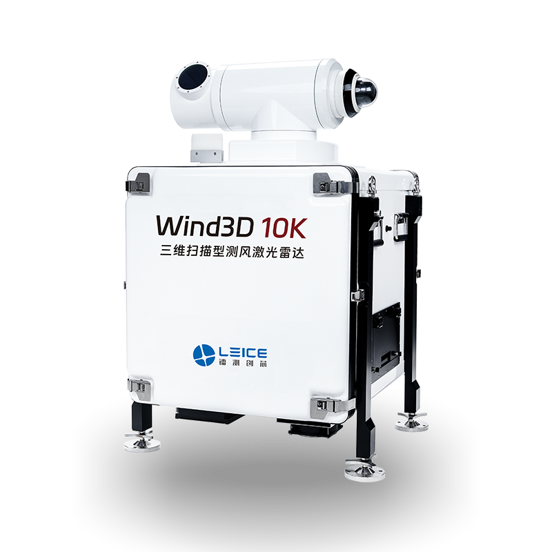
Wind3D 10K
3D Scanning Wind LiDAR
Scan Range
Up to 10 km
Wind Speed Accuracy
±0.3 m/s
Scan Modes
PPI / RHI / DBS / VAD
Wavelength
1.5 μm (eye-safe)
Operating Temp
-40°C to +50°C
IP Rating
IP65
- Full 3D wind field scanning up to 10 km range
- Multiple scan modes: PPI, RHI, DBS, VAD
- Real-time 3D wind field visualisation
- Wind shear and turbulence detection
Wind Power
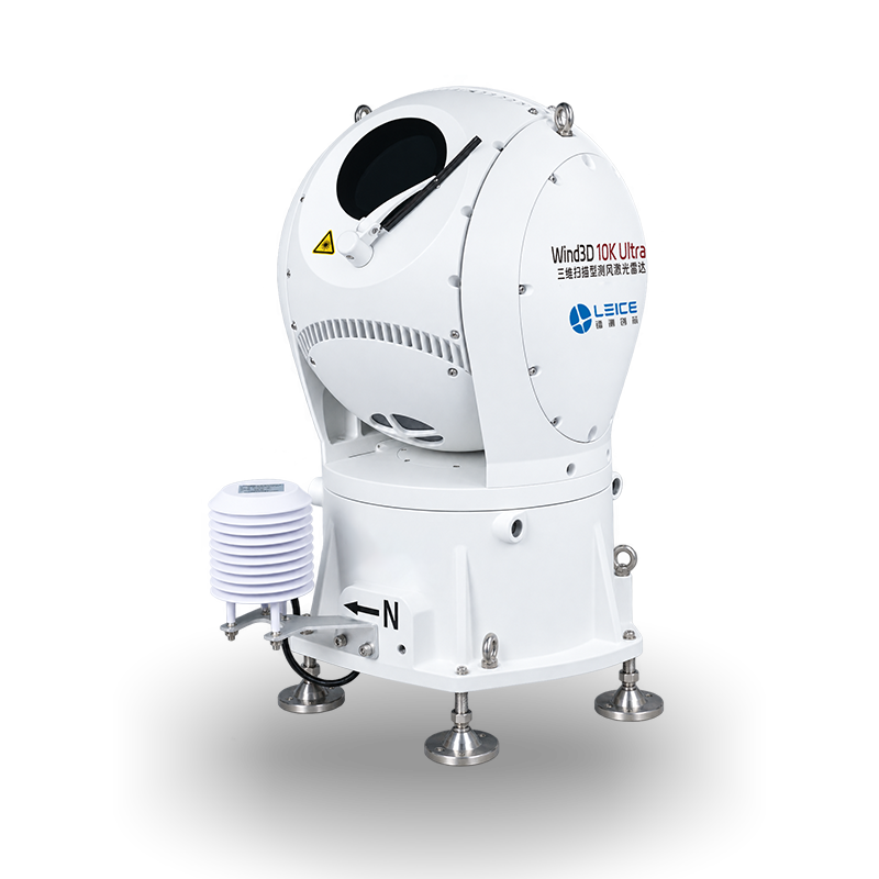
Wind3D 10K Ultra
3D Scanning Wind LiDAR
Wavelength
1550 nm, eye-safe
Wind Field Detection Range
45 m – 20 km
Wind Speed Accuracy
≤0.1 m/s
Pointing Accuracy
≤0.03°
Scan Range (Pitch)
-25° to 190°
Time Resolution
Radial ≥0.5 s; Profile ≥2 s
Distance Resolution
15 / 30 / 60 / 90 / 150 / 240 m
Wind Speed Range
0 – 75 m/s
Depolarization Range
Vertical >2 km; Horizontal >5 km
Dimensions (with turntable)
700 × 700 × 1100 mm
Weight (with turntable)
< 130 kg
Rated Power
200 W
- 45 m – 20 km wind field detection range
- Wind speed accuracy ≤0.1 m/s with pointing accuracy ≤0.03°
- Depolarization ratio measurement: vertical >2 km, horizontal >5 km
- Pitch scan range -25° to 190°
- Configurable radial distance resolution: 15 – 240 m
- 1550 nm eye-safe laser, lighter at <130 kg vs Hyper
Wind Power
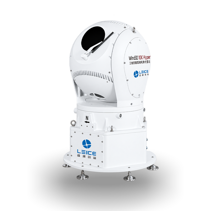
Wind3D 10K Hyper
3D Scanning Wind LiDAR
Wavelength
1550 nm, eye-safe
Detection Range
30 m – 30 km
Wind Speed Accuracy
≤0.1 m/s
Pointing Accuracy
≤0.03°
Azimuth Scan Range
0° – 360°
Elevation Scan Range
-40° – 190°
Time Resolution
Radial ≥0.5 s; Profile ≥2 s
Distance Resolution
15 / 30 / 60 / 90 / 150 / 240 m
Wind Speed Range
0 – 75 m/s
Dimensions (with turntable)
700 × 700 × 1100 mm
Weight (with turntable)
< 150 kg
Rated Power
300 W
- 30 m – 30 km horizontal detection range — longest in the range
- Wind speed accuracy ≤0.1 m/s with pointing accuracy ≤0.03°
- Full 360° azimuth and -40° to 190° elevation scanning
- Configurable radial distance resolution: 15 – 240 m
- Wind speed measurement range 0 – 75 m/s
- 1550 nm eye-safe laser wavelength
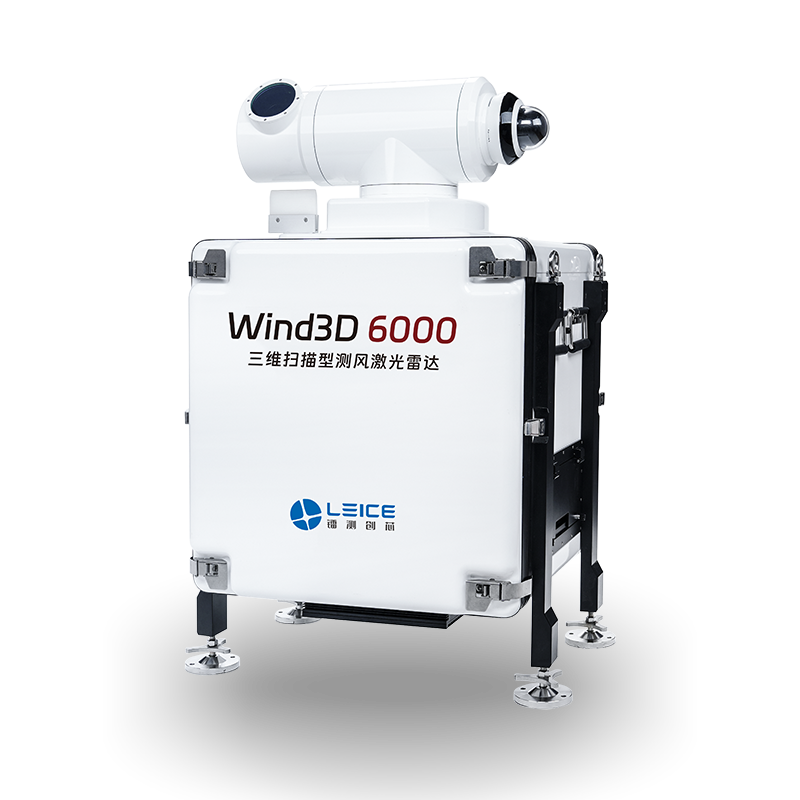
Wind Power
Wind3D 6000
3D Scanning Wind LiDAR
Scan Range
Up to 6 km
Wind Speed Accuracy
±0.3 m/s
Scan Modes
PPI / RHI / DBS / VAD
Wavelength
1.5 μm (eye-safe)
Operating Temp
-40°C to +50°C
IP Rating
IP65
- 6 km range 3D scanning for wind farm wake analysis
- Compact and portable design for field deployment
- Wind turbine wake and inflow characterisation
- Suitable for complex terrain wind assessment
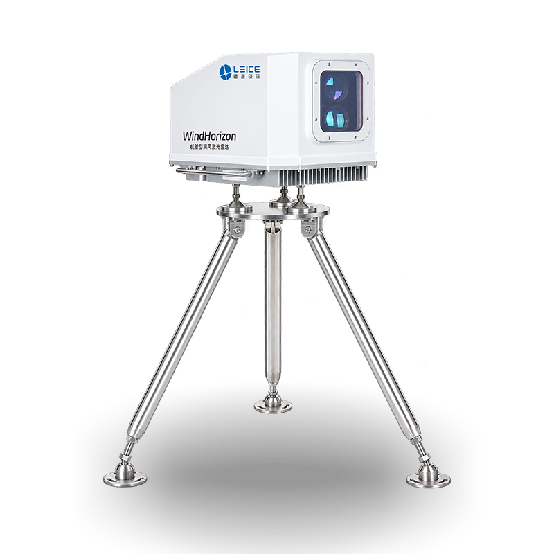
Wind Power
WindHorizon
Nacelle Wind LiDAR
Measurement Range
50 m – 400 m upstream
Wind Speed Accuracy
±0.2 m/s
Mounting
Nacelle-mounted
Output
Wind speed, direction, turbulence
Communication
Ethernet / RS485
Certification
IEC 61400-12-1
- Nacelle-mounted forward-looking wind LiDAR
- Measures inflow wind up to 400 m ahead of rotor
- Enables predictive pitch control for load reduction
- Improves annual energy production (AEP)
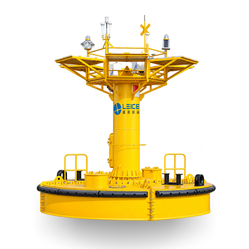
Wind Power
WindMast 350-MB
Floating Buoy Wind LiDAR
Measurement Range
10 m – 350 m
Platform
Offshore floating buoy
Motion Compensation
Built-in 6-DOF IMU
Wind Speed Accuracy
±0.1 m/s (compensated)
Power
Solar + battery
Communication
4G / Satellite
- Offshore wind resource assessment from floating buoy platform
- Built-in 6-DOF motion compensation IMU
- Solar and battery powered for autonomous operation
- 4G and satellite communication for remote data access
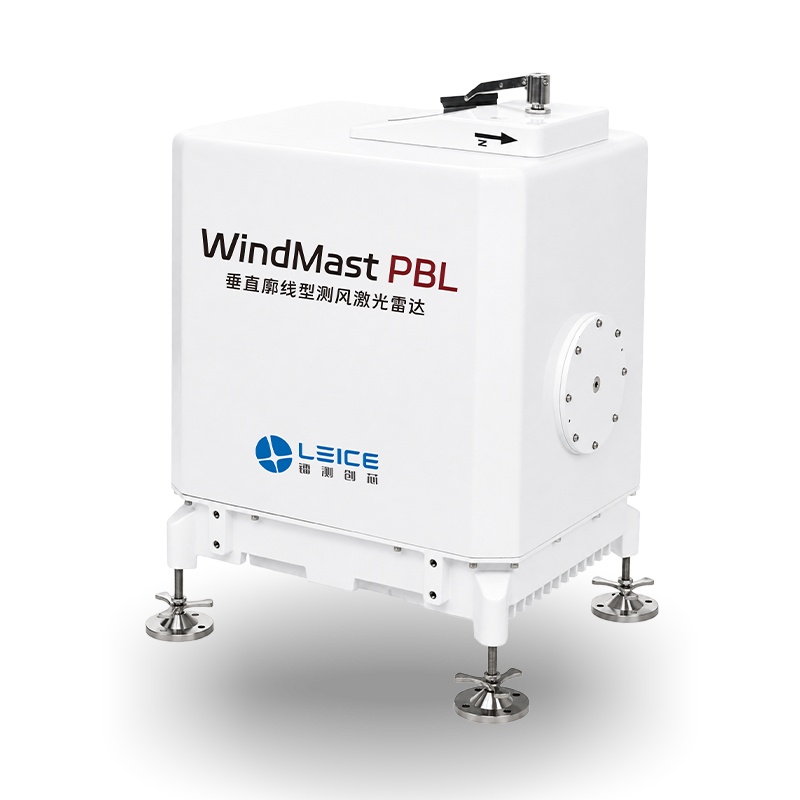
Wind Power
WindMast PBL
Boundary Layer Wind LiDAR
Measurement Range
Up to 3,000 m
Wind Speed Accuracy
±0.2 m/s
Vertical Resolution
30 m
Time Resolution
1 min
Form Factor
Ground-based unit
Applications
Wind power, NWP, aviation
- Planetary boundary layer wind profiling up to 3,000 m
- Ground-based compact unit for fixed-site deployment
- Supports numerical weather prediction (NWP) data assimilation
- Also available: PBL(M), PBL(MV), PBL(SV) variants
Wind Power
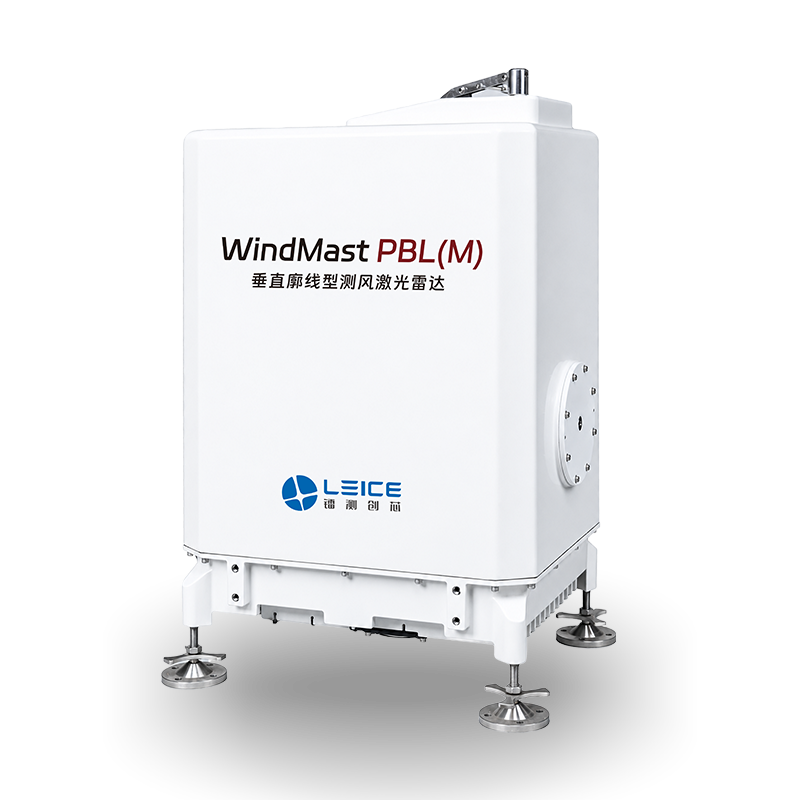
WindMast PBL(M)
Mobile Boundary Layer Wind LiDAR
Measurement Range
Up to 3,000 m
Wind Speed Accuracy
±0.2 m/s
Vertical Resolution
30 m
Deployment
Mobile / transportable
Power
AC mains
Applications
Field campaigns, NWP
- Mobile variant of the WindMast PBL for field campaigns
- Transportable design for rapid redeployment
- Same measurement performance as fixed PBL unit
- Suitable for temporary wind resource assessment sites
Wind Power
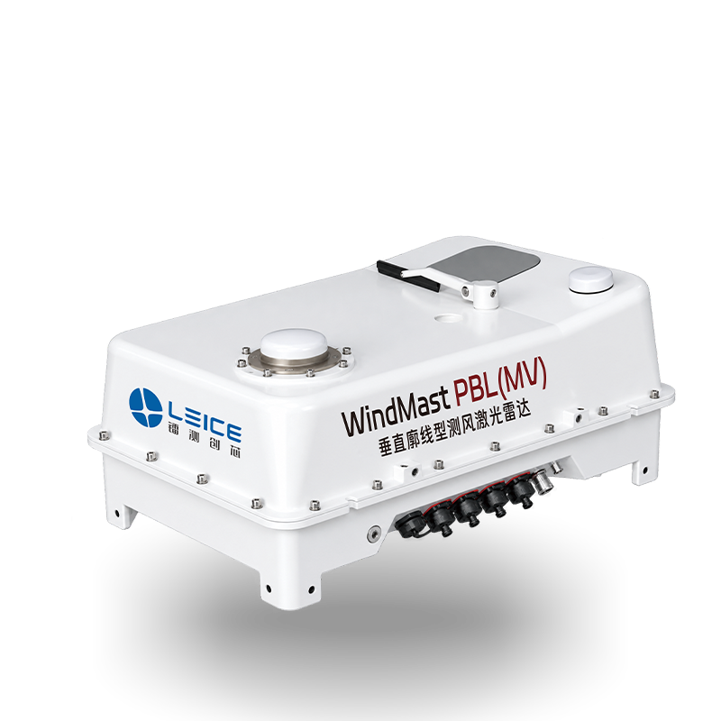
WindMast PBL(MV)
Vehicle-Mounted Boundary Layer Wind LiDAR
Measurement Range
Up to 3,000 m
Wind Speed Accuracy
±0.2 m/s
Mounting
Vehicle-mounted
Form Factor
Compact ruggedised enclosure
Power
Vehicle 12/24V DC
Applications
Mobile surveys, NWP
- Vehicle-mounted compact boundary layer wind LiDAR
- Ruggedised enclosure for mobile survey operations
- Powered directly from vehicle 12/24V DC supply
- Rapid deployment from any vehicle platform
Wind Power
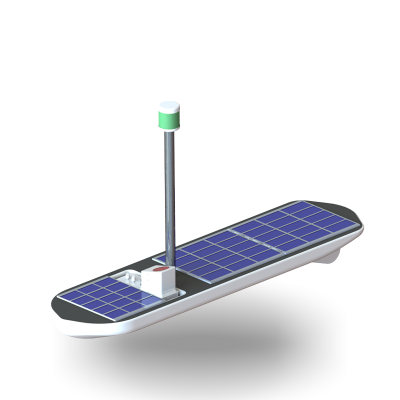
WindMast PBL(SV)
Solar-Powered Boundary Layer Wind LiDAR
Measurement Range
Up to 3,000 m
Wind Speed Accuracy
±0.2 m/s
Power
Solar + battery autonomous
Platform
Autonomous surface vessel
Communication
4G / Satellite
Applications
Offshore, remote sites
- Solar-powered autonomous platform for off-grid deployment
- Designed for offshore and remote coastal wind profiling
- 4G and satellite communication for remote data access
- Fully autonomous operation with no shore power required
Wind Power
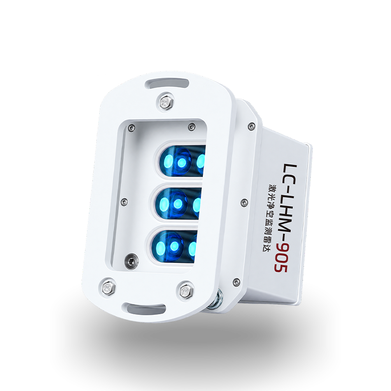
LC-LHM-905
Blade Clearance Monitoring LiDAR
Detection Range
Up to 200 m
Wavelength
905 nm
Mounting
Tower-mounted
Output
Blade tip clearance distance
Communication
Ethernet / Modbus
IP Rating
IP67
- Real-time blade tip to tower clearance monitoring
- Early warning system for blade strike risk
- Compact tower-mounted form factor with IP67 rating
- Integrates with SCADA and turbine control systems
Partners & Supported Software

Discuss your wind LiDAR requirements
Geospace NZ — New Zealand distributor for Leice Wind Power LiDAR systems.