

Meteorological LiDAR Systems
Atmospheric wind profiling, boundary layer measurement, temperature and humidity sensing, and low-altitude weather protection for meteorological applications.
Advanced Atmospheric Sensing for New Zealand
Geospace NZ is the New Zealand distributor for the Leice Meteorology LiDAR range — covering boundary layer wind profiling, 3D scanning atmospheric measurement, Raman temperature and humidity sensing, and integrated low-altitude weather protection systems.
Leice meteorological systems are deployed by national weather services, research institutions, airports, and wind energy developers worldwide, providing high-accuracy atmospheric data for forecasting, NWP assimilation, and operational safety.
3D Scanning Wind LiDAR
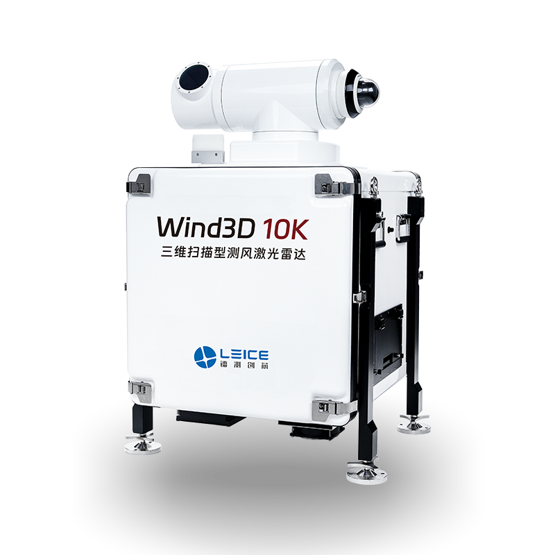
Wind3D 10K
Scan Range
Up to 10 km
Wind Speed Accuracy
±0.3 m/s
Scan Modes
PPI / RHI / DBS / VAD
Wavelength
1.5 μm (eye-safe)
Operating Temp
-40°C to +50°C
IP Rating
IP65
- Full 3D atmospheric wind field scanning up to 10 km
- Multiple scan modes: PPI, RHI, DBS, VAD
- Real-time 3D wind field visualisation
- Wind shear, turbulence, and wake detection
3D Scanning Wind LiDAR
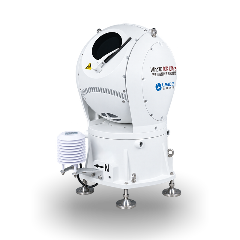
Wind3D 10K Ultra
Wavelength
1550 nm, eye-safe
Wind Field Detection Range
45 m – 20 km
Wind Speed Accuracy
≤0.1 m/s
Pointing Accuracy
≤0.03°
Scan Range (Pitch)
-25° to 190°
Depolarization Range
Vertical >2 km; Horizontal >5 km
- 45 m – 20 km wind field detection range
- Depolarization ratio measurement for aerosol characterisation
- Wind speed accuracy ≤0.1 m/s, pointing accuracy ≤0.03°
- 1550 nm eye-safe laser, <130 kg
3D Scanning Wind LiDAR
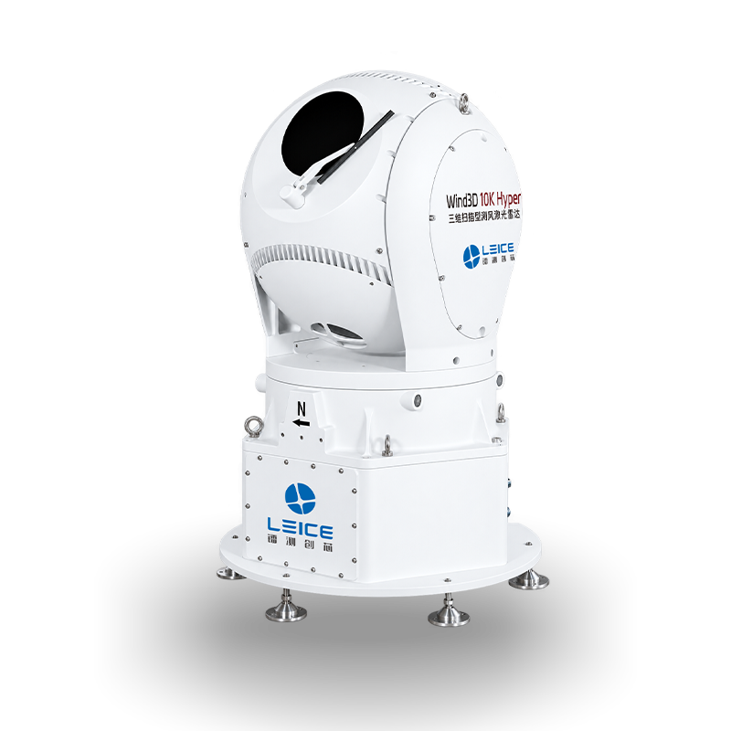
Wind3D 10K Hyper
Wavelength
1550 nm, eye-safe
Detection Range
30 m – 30 km
Wind Speed Accuracy
≤0.1 m/s
Azimuth Scan Range
0° – 360°
Elevation Scan Range
-40° – 190°
Wind Speed Range
0 – 75 m/s
- 30 m – 30 km detection range — longest in the range
- Full 360° azimuth and -40° to 190° elevation scanning
- Wind speed accuracy ≤0.1 m/s, pointing accuracy ≤0.03°
- Configurable distance resolution: 15 – 240 m
3D Scanning Wind LiDAR
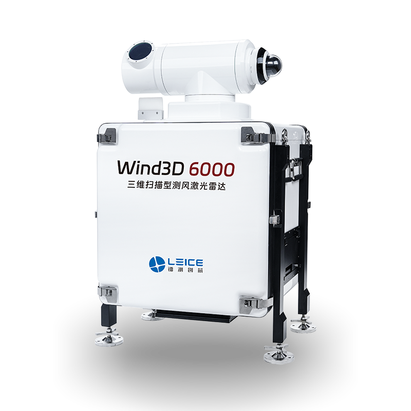
Wind3D 6000
Scan Range
Up to 6 km
Wind Speed Accuracy
±0.3 m/s
Scan Modes
PPI / RHI / DBS / VAD
Wavelength
1.5 μm (eye-safe)
Operating Temp
-40°C to +50°C
IP Rating
IP65
- 6 km range 3D scanning for atmospheric research
- Compact and portable for field deployment
- Wind shear, turbulence, and wake characterisation
- Suitable for complex terrain atmospheric studies
Boundary Layer Wind LiDAR
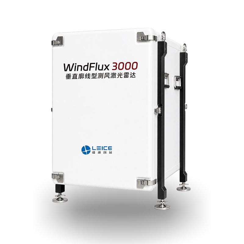
WindFlux 3000
Measurement Range
Up to 3,000 m
Wind Speed Accuracy
±0.2 m/s
Vertical Resolution
30 m
Time Resolution
1 min
Form Factor
Compact portable unit
Applications
NWP, boundary layer research
- Vertical boundary layer wind profiling up to 3,000 m
- Compact portable form factor for field campaigns
- Supports NWP data assimilation
- High-resolution vertical wind profile measurement
Boundary Layer Wind LiDAR
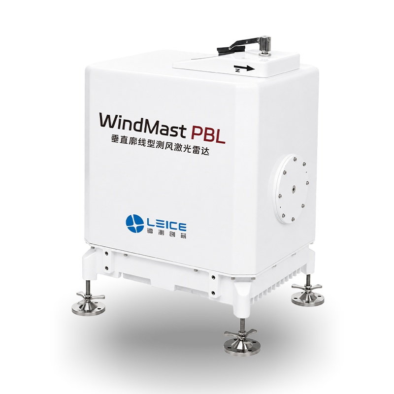
WindMast PBL
Measurement Range
Up to 3,000 m
Wind Speed Accuracy
±0.2 m/s
Vertical Resolution
30 m
Time Resolution
1 min
Form Factor
Ground-based unit
Applications
NWP, wind power, aviation
- Planetary boundary layer wind profiling up to 3,000 m
- Ground-based compact unit for fixed-site deployment
- Supports numerical weather prediction data assimilation
- Available in mobile, vehicle-mounted, and solar variants
Mobile Boundary Layer Wind LiDAR
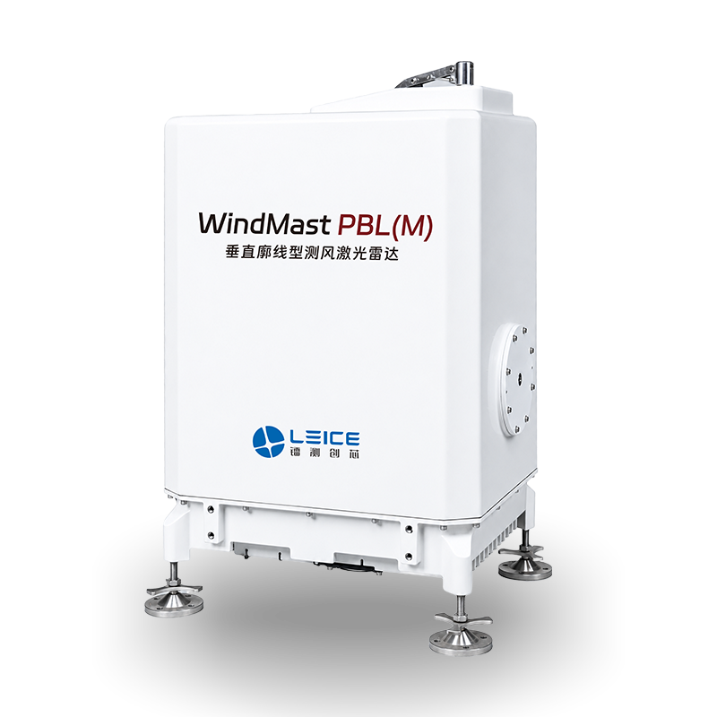
WindMast PBL(M)
Measurement Range
Up to 3,000 m
Wind Speed Accuracy
±0.2 m/s
Vertical Resolution
30 m
Deployment
Mobile / transportable
Power
AC mains
Applications
Field campaigns, NWP
- Mobile variant for rapid field campaign deployment
- Same measurement performance as fixed PBL unit
- Transportable design for temporary site assessment
- Supports NWP data assimilation on the move
Vehicle-Mounted Boundary Layer Wind LiDAR
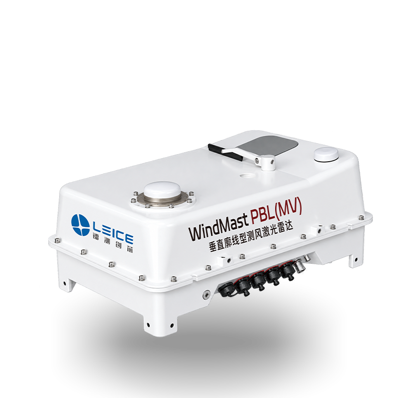
WindMast PBL(MV)
Measurement Range
Up to 3,000 m
Wind Speed Accuracy
±0.2 m/s
Vertical Resolution
30 m
Deployment
Vehicle-mounted
Form Factor
Compact ruggedised unit
Applications
Mobile campaigns, NWP
- Vehicle-mounted variant for mobile atmospheric profiling
- Compact ruggedised enclosure for field operations
- Planetary boundary layer profiling up to 3,000 m
- Rapid deployment for emergency weather response
Compact Boundary Layer Wind LiDAR
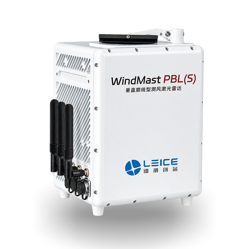
WindMast PBL(S)
Measurement Range
Up to 3,000 m
Wind Speed Accuracy
±0.2 m/s
Vertical Resolution
30 m
Form Factor
Compact standalone unit
Connectivity
4G / Ethernet
Applications
NWP, wind resource, aviation
- Compact standalone boundary layer wind profiler
- Integrated 4G connectivity for remote data access
- Suitable for permanent or semi-permanent deployment
- Supports NWP, wind resource assessment, and aviation
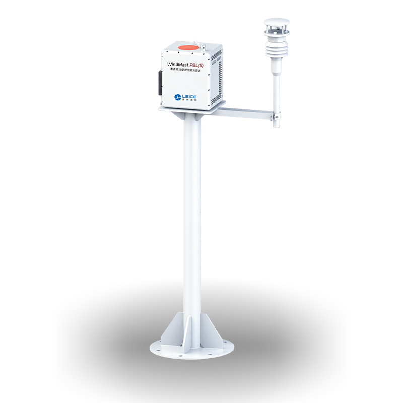
Pole-Mounted Boundary Layer Wind LiDAR
WindMast PBL(SP)
Measurement Range
Up to 3,000 m
Wind Speed Accuracy
±0.2 m/s
Vertical Resolution
30 m
Mounting
Pole / mast mounted
Connectivity
4G / Ethernet
Applications
Urban monitoring, airports
- Pole-mounted variant for urban and airport wind monitoring
- Integrated weather station sensor arm
- Compact unit with integrated 4G connectivity
- Ideal for permanent fixed-site atmospheric monitoring
Tripod-Mounted Boundary Layer Wind LiDAR
WindMast PBL(SS)
Measurement Range
Up to 3,000 m
Wind Speed Accuracy
±0.2 m/s
Vertical Resolution
30 m
Mounting
Tripod / portable stand
Connectivity
4G / Ethernet
Applications
Field campaigns, research
- Tripod-mounted for rapid portable field deployment
- Integrated weather station sensor arm
- Lightweight setup for temporary measurement campaigns
- Suitable for complex terrain and research applications

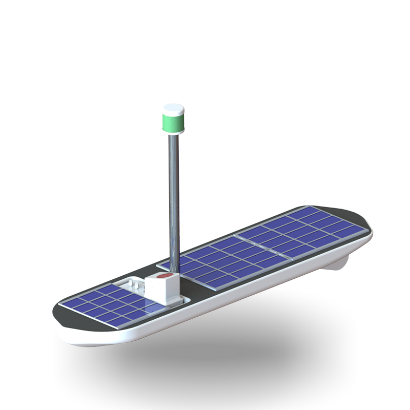
Solar Buoy Boundary Layer Wind LiDAR
WindMast PBL(SV)
Measurement Range
Up to 3,000 m
Wind Speed Accuracy
±0.2 m/s
Power
Solar / battery
Platform
Floating buoy
Connectivity
4G / satellite
Applications
Offshore, lakes, coastal
- Solar-powered floating buoy platform for offshore deployment
- Boundary layer wind profiling up to 3,000 m over water
- Autonomous operation with 4G or satellite connectivity
- Suitable for offshore wind resource and coastal monitoring
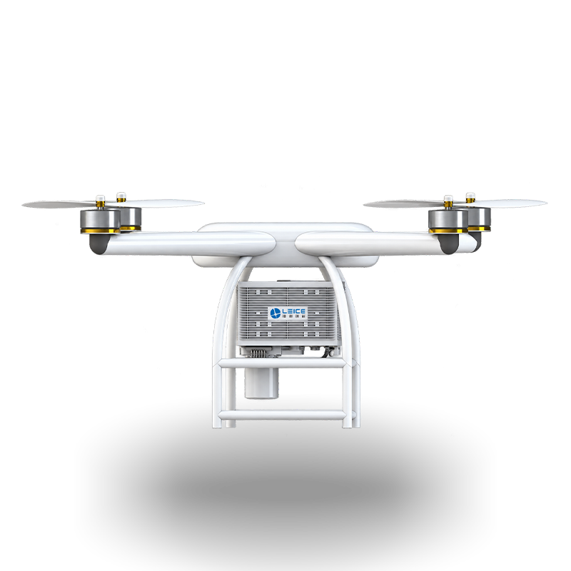
Airborne Wind LiDAR
WindMast PBL(MA)
Platform
UAV / drone-mounted
Measurement Type
Airborne wind profiling
Wavelength
1.5 μm (eye-safe)
Form Factor
Compact payload unit
Applications
Atmospheric research, NWP
Deployment
UAV-mounted, rapid deploy
- UAV-mounted airborne wind profiling LiDAR
- Compact payload design for drone integration
- Enables atmospheric profiling in inaccessible areas
- Eye-safe 1.5 μm laser wavelength
Tropospheric Wind LiDAR
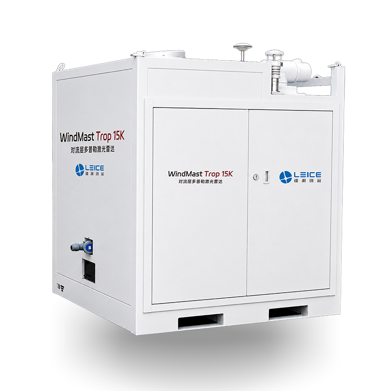
WindMast Trop 15K
Detection Range
Up to 15 km
Wind Speed Accuracy
±0.3 m/s
Form Factor
Containerised system
Operating Temp
-40°C to +50°C
Applications
NWP, tropospheric research
Output
Full tropospheric wind profiles
- Tropospheric Doppler wind profiling up to 15 km altitude
- Containerised system for permanent or semi-permanent deployment
- Supports NWP data assimilation at national weather services
- Full tropospheric wind profile output for forecasting
Raman Temperature and Humidity LiDAR
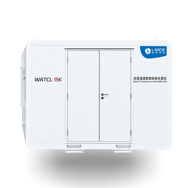
WATCL 15K
Detection Range
Up to 15 km
Measurement Type
Raman temperature and humidity
Form Factor
Containerised system
Operating Temp
-40°C to +50°C
Applications
NWP, climate research
Output
Temperature and humidity profiles
- Raman LiDAR for atmospheric temperature and humidity profiling
- Detection range up to 15 km altitude
- Containerised system for permanent or semi-permanent deployment
- Supports NWP assimilation and climate research
Low Altitude Weather Protection System
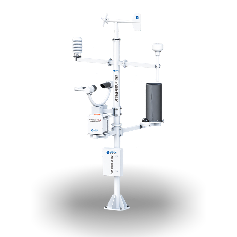
LAWS 1000
System Type
Integrated weather station
Parameters
Wind, temperature, humidity, pressure, rain
Wind Speed Range
0 – 75 m/s
Communication
Ethernet / 4G
Applications
Aviation, UAV operations, ports
IP Rating
IP65
- Integrated low-altitude weather protection for aviation and UAV operations
- Measures wind, temperature, humidity, pressure, and rainfall
- Wind speed range 0 – 75 m/s
- Ethernet and 4G communication for remote monitoring
Partners & Supported Software

Enquire About Leice Meteorology Systems
Contact Geospace NZ to discuss your atmospheric sensing requirements, request a demonstration, or obtain pricing for any Leice meteorology LiDAR system.
Get in Touch